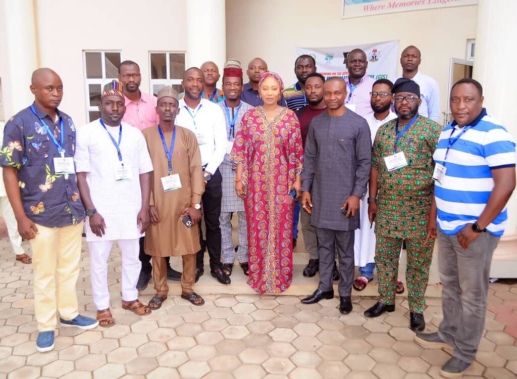
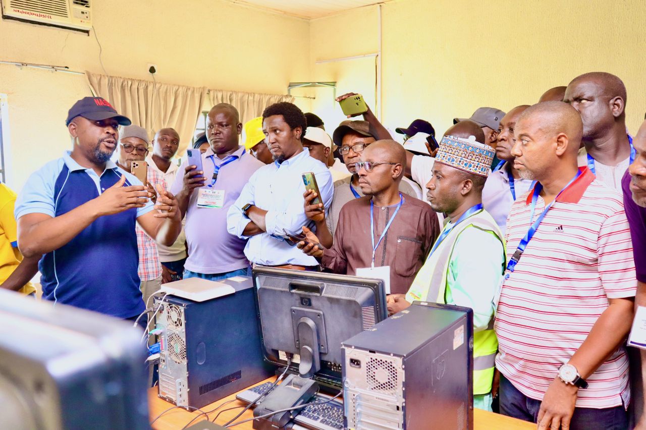
The documents below are some of the presentations made during the hands-on capacity building on the Application of Geographic Information System (GIS) and Remote Sensing (RS) Technology for Sustainable Landscape Management held at the Steffan Hotel and Suites, Jos, Plateau State and hosted by the National Center for Remote Sensing, Jos Plateau State.
- Change-Detection-Mapping by Boyi Mairiga James
- Data Availability for ACReSAL by Ibeneme Sylvester Uchechukwu
- The role of Biodiversity in Catchment Management Planning by Dr. Thlama Daniel Mshelbwala
- Understanding the Livelihood Objective in Catchment Management Plan (CMP) by Dr S.S. Mailumo
- Development of an integrated catchment management plan, a case study of Pyeng, Plateau State by Dr. Kehinde Ogunmola
- Impacts of climate change on watershed management in Nigeria by Prof M.Y.Suleiman
- Soil and Catchment Management Planning – Dr. Ayo Owunubi
- Water Resources Management in A Typical Catchment by Prof. Dibal Hyeladi Usman


Add a Comment